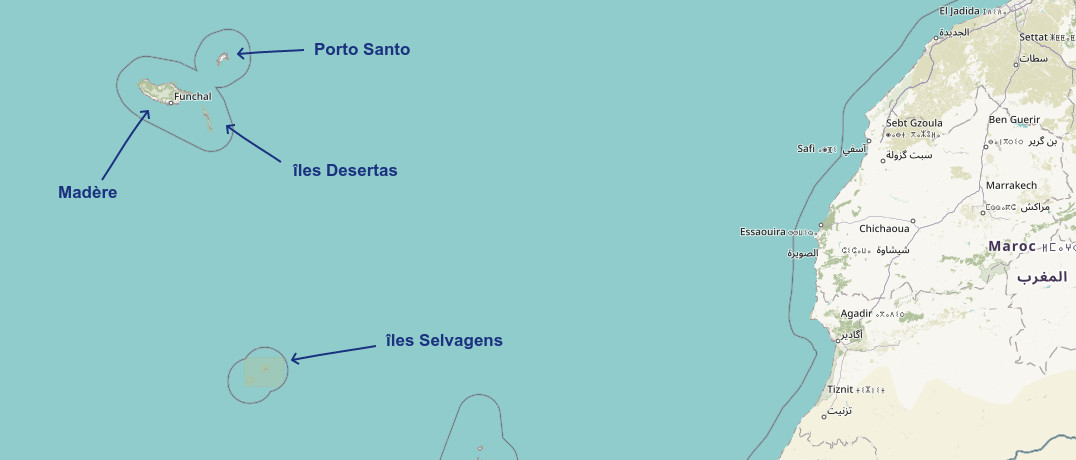
There is a tendency to think of Madeira as a single island in the middle of the Atlantic Ocean, but this is a mistake: Madeira is an archipelago in Portugal made up of several islands and islets. The Autonomous Region of Madeira encompasses all the islands of the archipelago. Special mention to Porto Santo, which is not well known and yet worth a visit! Here are the main islands...
Madeira Island:
The largest island of the archipelago with its 750 km² surface area, the island of volcanic origin is therefore generally the best known (See the complete file to discover Madeira Island). The Picos, the Levadas, the Laurysilva forest, the São lourenço point, the small villages and their ports, coasts and cliffs or small pebble beaches... Not forgetting the city of Funchal, the capital of Madeira. A real jewel of the Atlantic with a pleasant and mild climate that can be visited all year round: a real garden of flowers, nicknamed the Garden of the Atlantic.
Length: about 57 km, width: about 22.7 km.
The island of Porto Santo:
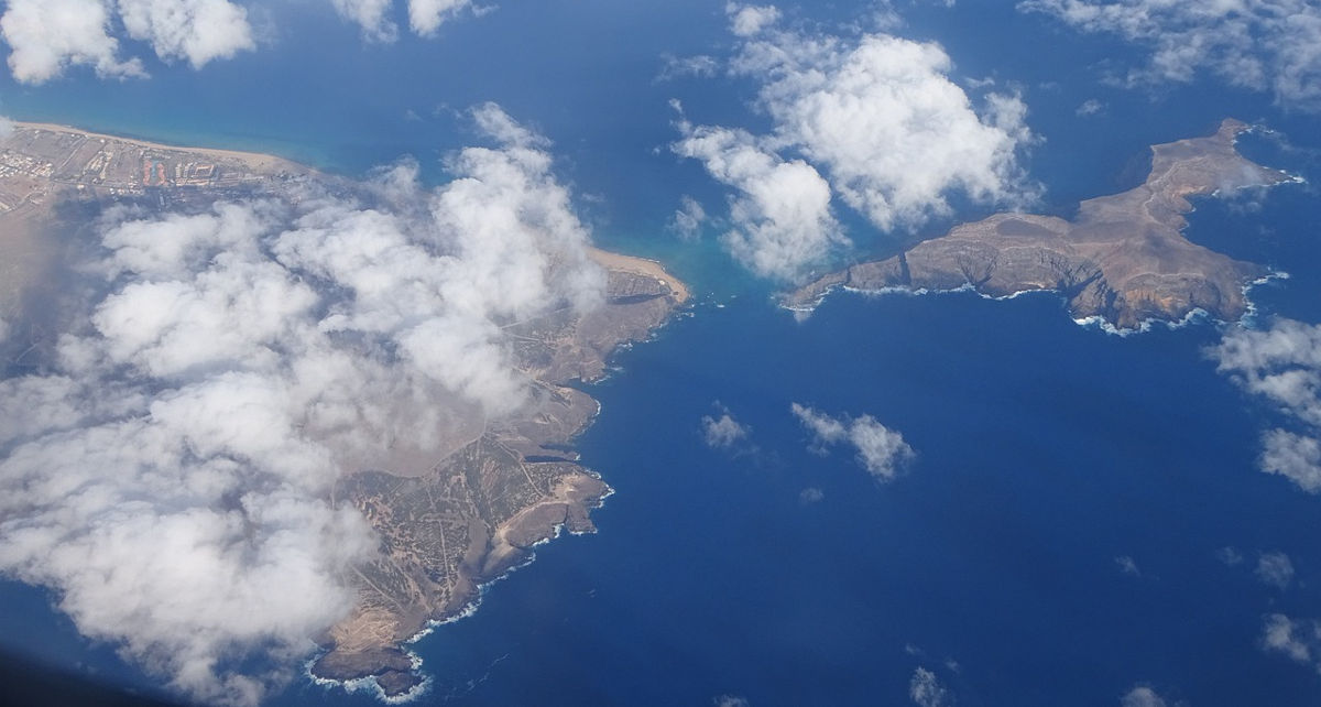
The little sister island located in the North East of the main island of Madeira: Porto Santo. It is the only island that is inhabited with Madeira, whose main town is Vila Baleira. It is about 42 km² in size. It has sandy beaches (it's called the Golden Island!), which are sorely lacking in Madeira, as well as the Pico do Facho in the centre of the island. This island can be reached by ferry or by plane, ideal for a day trip during your trip. Several small islets surround Porto Santo.

Desertas Islands :
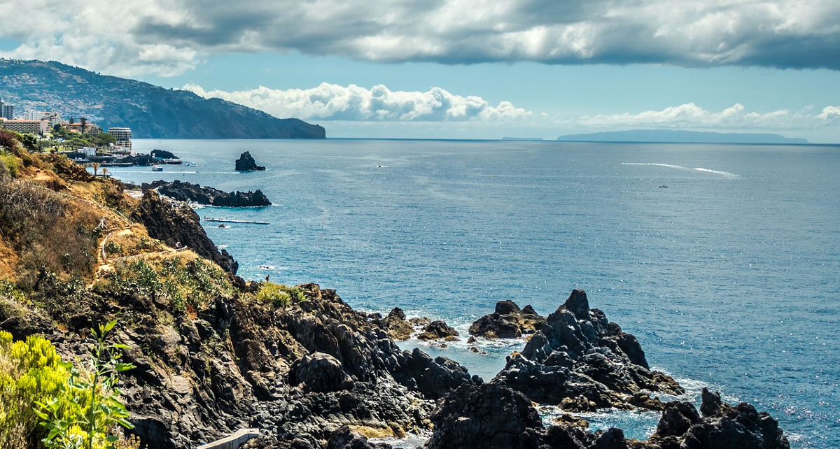
Located 11 km southeast of the main island of Madeira: Chão, Deserta Grande and Bugio are 3 deserted islands of the archipelago. These islands were not colonisable: the arid climate, the cliffs and the difficulty of access make them uninhabitable for man. They have been designated as nature reserves since 1990, they were private in the past and belonged to 2 English families. They can be seen from Funchal, with Deserta Grande being the highest point at 442m. The islands are protected by the Madeira Natural Park and are home to several protected species, including monk seals, of which there are about 30 individuals living in the caves of these islands.

Madeira's Islets:
There are many islets surrounding Madeira or Porto Santo. Not all of them can be mentioned as they are not all of great interest and are too small to be inhabited. Some islets have a lighthouse. Here are a few that stand out:
Islet Mole
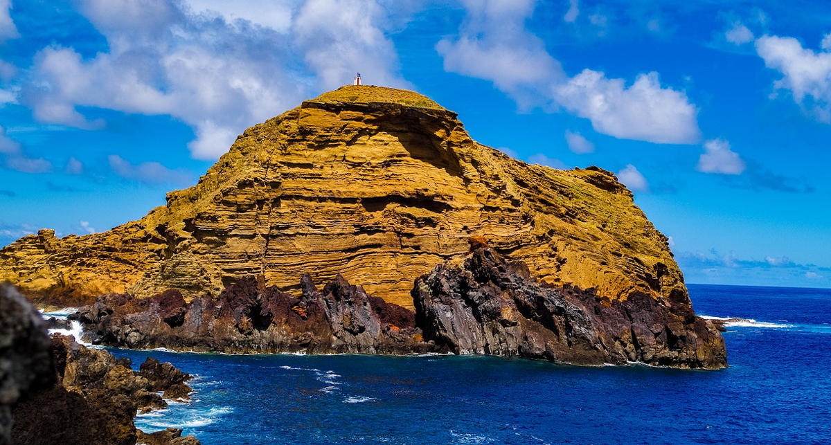
Located just opposite the village of Porto Moniz and its natural pools, the Mole islet is a large lava rock, on which the Porto Moniz lighthouse is built. It's hard to miss!

Islets of Cevada and Farol
Located at the very east of the island, as an extension of the Saint Laurent (São Lourenço) point. They offer a sublime panorama, a gentle mix of ocean and rugged cliffs for those who make the excursion. Islet do Farol is home to Madeira's oldest lighthouse, which has been renovated.
For the other islets of the archipelago you can find a list on Wikipedia.
The Selvagens Islands
Located 290 km south of Madeira, they are closer to the Canary Islands. They are not geographically part of the archipelago, however, these 3 islands and numerous islets have been dependent on Madeira since the 16th century. The islands are relatively small (the largest is only 2.73 km²), uninhabited and have nature reserve status. Only rangers, employed by the Madeira National Park, and biologists are present on these islands which are very rich in fauna, especially birds, and flora.

nous souhaitons découvrir madère et ses environs pour l'été 2024