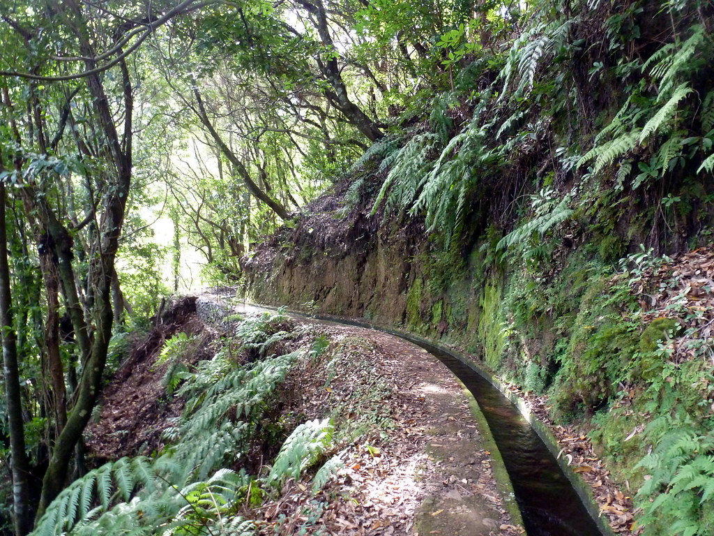
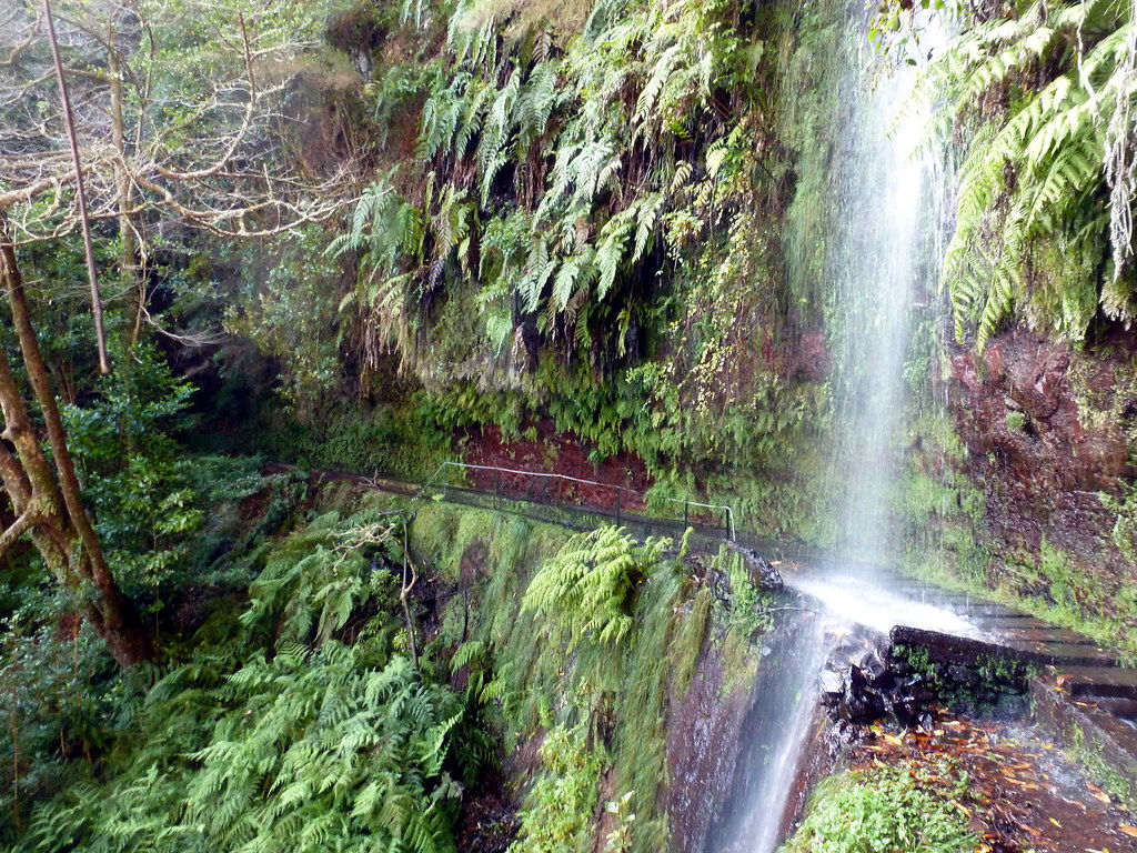
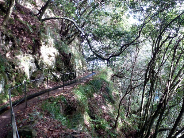
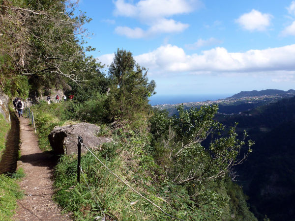
The Levada do Rei is one of Madeira's PR walks: PR18. It is one of the most beautiful walks on the island on a well-maintained and signposted route. Located on the outskirts of the town of São Jorge, the levada takes you through Madeira's laurissilva forest in the beautiful São Jorge valley to the source of the Bonito stream: Ribeiro Bonito. The difference in altitude is relatively small and the path is quite wide: the hike is accessible to all.

The route of PR18:
The Levada do Rei starts at 500m above sea level, on the outskirts of the coastal village of São Jorge, more precisely at the intersection of Caminho da Corrida and Estrada da Achada do Vigario in Quebradas. After passing the sewage treatment plant at the start of the hike, you will find yourself in the primary forest after a short climb of about 50 metres. This will be the only difficulty of the route.

We are quickly in the heart of an incredible biodiversity. Only the singing of the birds will disturb your peace. The luxuriant nature sometimes resembles a real jungle. At the end of the hike, you arrive at the Bonito water source. This is not quite a waterfall, the water of the stream flows along the wall 100 meters higher.
Hiking information
PR18 - levada do rei
Balisage : PR
Type de parcours : boucle
Altitude Max : 600 m
Difficulty : normale
10.2 km
4 h
+400 m
The GPX course is provided for information only and without guarantee.
For the return journey, we take the same route in the opposite direction, along the canal.
Note that it is possible, if you look at the map below, to pass on a small path on your return: the Caminho do Cascalho - Boca das Volta. This path follows the levada from the west until you return to the car park, the starting point. However, if you leave the PR18, the path may no longer be developed. This is at your own risk.
Why do this PR18 hike?
It is a rather easy round trip hike, of about 9.5 km (4.6km on the outward journey). The path is wide, not very steep, and there are no problems with vertigo. The Levada do Rei is more accessible to the general public and gives you a real insight into Madeira's primary forest, protected by UNESCO. Note that there are not many viewpoints on the Madeiran mountains.


How to get organised?
It's best to leave early if you want to avoid the many tourist groups. Nevertheless, this is a less popular hike than the 25 fountains or the Caldeirao Verde, so you should be more relaxed.
How to get there?
By car:
With a rental car, you can park on the outskirts of the hike, in the car park. To reach the village of São Jorge from Funchal, you need to take the VE1, which passes through the village of Santana, to the east. It takes about 50 minutes.
It can also be reached from São Vicente, in the west, by crossing the heart of the island, again via a section of the VE1 expressway. It takes about 55 minutes.
By bus:
From Funchal, line 103 will cross the island. It takes about two hours by bus to reach the village, and another 20 minutes on foot, with a little more than 200m of elevation gain.

 Départ et arrivée de la randonnée.
 Village
 Piscine naturelle
 Musées et visites
 Levada
 Eglises et Chapelles
 Point de Vue
 Cascades
 Phare
Phare Forêt primaire
 Hébergements
 Tunnel
 Point non identifié