An unknown levada
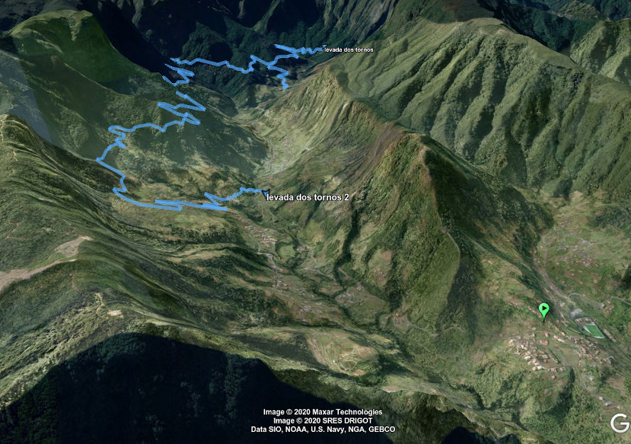
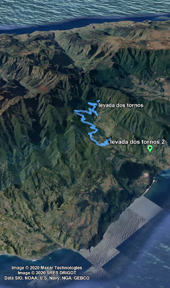
The levada dos Tornos is not the best known of Madeira's levadas, very little information is available about it and it is often confused with Camacha levada dos Tornos. It is accessible from the village of Boaventura, in the north of Madeira Island.
It's an interesting route though, you find yourself in the middle of nature and the Madeiran forest, almost certain not to come across other hikers. The route is signposted and there are several waterfalls along the irrigation channel. In total, there are about 18.5 kilometres of walking to do, of which 15 km are along the levada (it takes about 2.5 km to get back to your vehicle by road, although it is a steep climb). The weak point is the lack of panoramic landscapes.
The road in detail
Part 1 - Towards the waterfall. About 5 km
On the map below (in blue), we start the route in Lombo do Urzal. We will cross the Levada do Louros to finally arrive at the signposted route and the Levada dos Tornos. We head west (to our right) of the levada to reach the origin of the latter and its waterfall. This part is not compulsory but it would be a shame not to do it, it is relatively accessible. It takes about 1 hour. You will then have to retrace your steps to tackle the second part of the hike.
Part 2 - The Levada in the middle of nature - about 11 km
Back on our steps, we attack the second part (in red on the map) which makes us follow the canal in the forest. Just follow the route. After kilometre 6, we leave the levada and arrive at Eira Corego. The gradient starts to drop seriously, we lose almost 400 m of gradient in 4 kilometres. When you finally leave the forest, you come across the Levada das Faial.
The return to the vehicle
I did not add a GPS track because we are no longer in the middle of nature, it is enough to follow the paths and the road that we took to go to Lombo do Urzal. The return journey is quite easy, about 2.5 km.


Should we do this levada?
I want to say yes, it looks accessible, and it's a very natural place. There are not necessarily many viewpoints on this levada. There are several waterfalls but be careful, depending on the season, they may be dry. You will discover an abundance of nature, many types of plants in an incredible calm and you will also find yourself far from the strong heat thanks to the trees.
Do not hesitate to use a GPS to find the starting point. Like all levadas, the terrain can be slippery if it rains, so be sure to be well equipped. It is also possible to take a 500m long tunnel, but I have not found the exact location. At Eira Corego, when you leave the levada, there is a 2.4 km long tunnel that leads to the Caldeirao Verde, but I have no idea if it is passable on foot.

 Point de départ
  Point d'arrivée de la randonnée.
 Montagne
 Randonnées
 Levada
 Point de Vue
 Cascades
 Tunnel