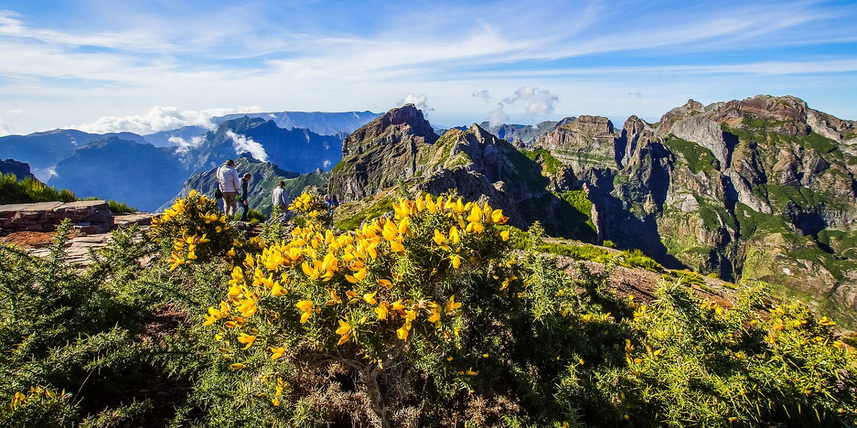
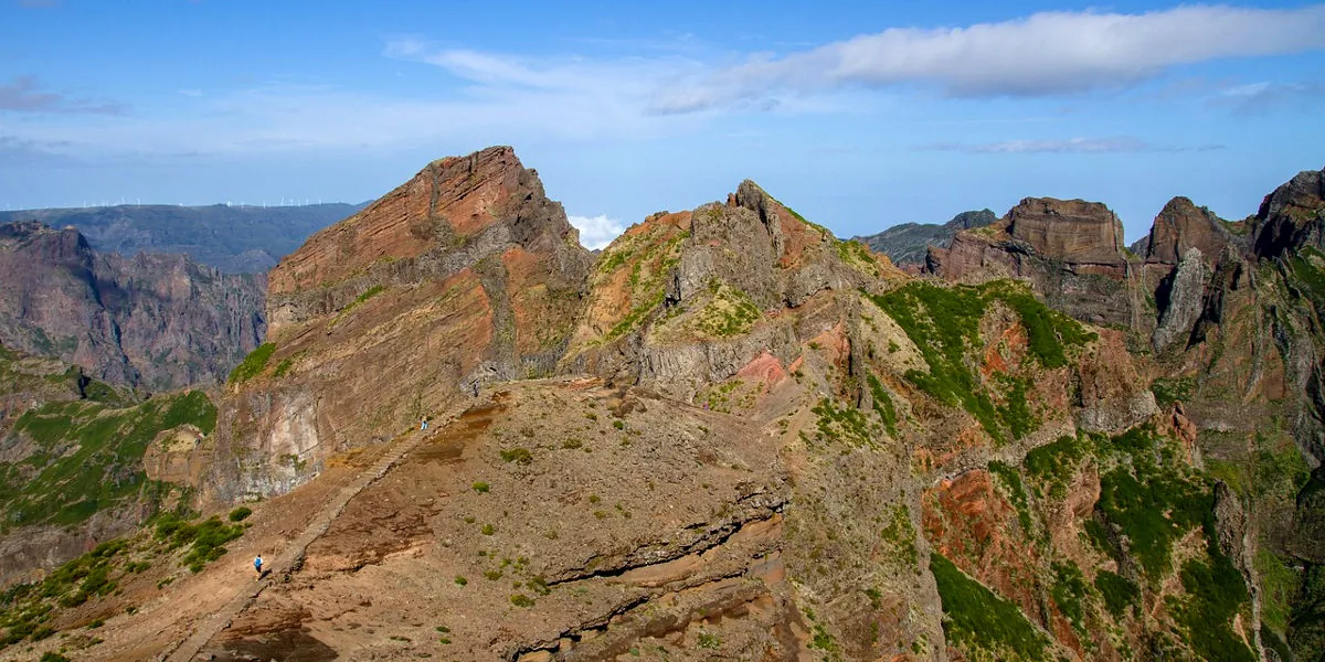
Madeira's 2nd highest point at 1851 metres, Pico Das Torres is located in the mountainous heart of the volcanic island. It is located between Pico Ruivo to the north and Pico do Arieiro to the south.
How to get there?
There is only one hiking trail that allows you to get to this peak and enjoy exceptional panoramas of the island's mountainous and volcanic massif. A 360° view, very often above the sea of clouds!
From south to north: from Pico do Arieiro (from the car park and the air defence station) to Pico Ruivo. A vereda of about 6 kilometres (12 km round trip) that will take you halfway to this peak. The path has been perfectly laid out and some big surprises await us with stairs, but also tunnels. This hike has the advantage of combining the three highest picos on Madeira Island!
Alternatively, this peak can be reached from the north, by extending the Pico Ruivo hike from Achada do Teixeira. On this short climb you can admire the view towards Pico Das Torres. Once you have reached the top of the island, you can follow the path to the south to get to Pico das Torres and why not to Pico do Ariero.
In both cases, remember to be equipped beforehand for the hike and it is better to be in good physical shape.


 Point de départ
  Point d'arrivée de la randonnée.
 Montagne
 Village
 Randonnées
 Levada
 Eglises et Chapelles
 Point de Vue
 Cascades
 Forêt primaire
 Tunnel
 Point non identifié