The PR13 - Vereda do Fanal hike takes you through the heart of the Laurissilva Forest, a UNESCO World Heritage Site. The route starts at the edge of the ER209, on the Paul da Serra plateau, at an altitude of 1,437 metres, and takes you through the Fanal forest through incredible scenery on this long ridge, for more than 10 kilometres. On the left: the Ribeira da Janela valley. On the right: the Chão da Ribeira valley. In focus: the Fanal area and its forest shelter. The Fanal forest is known for its unstructured trees, its mystical silhouettes, which inspire beautiful photos in the fog.
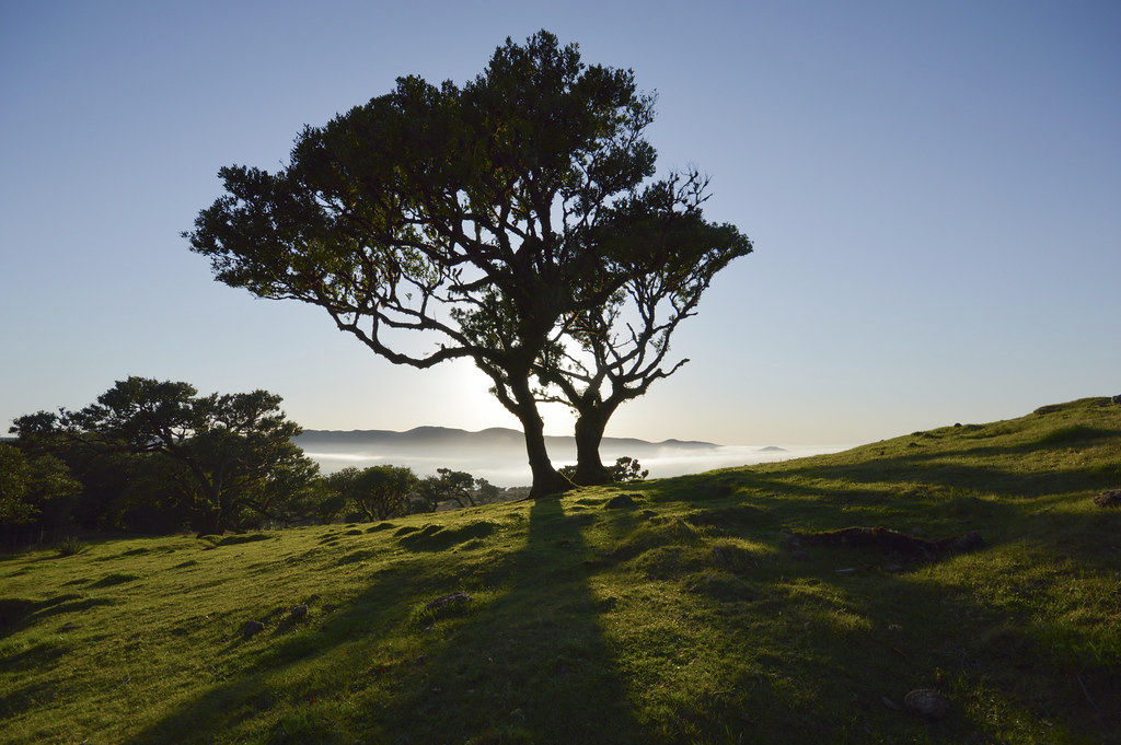
This route, although 10 km long, is of medium difficulty, with almost no positive change in altitude (100m) and a negative change in altitude of 400 m. It takes about 3 hours to reach the Fanal picnic area. This is one of the most beautiful hikes in Madeira in the heart of the laurisilva forest.
The walk of PR13 in detail:
The walk starts at the edge of the ER209, on the Serra plateau. You enter a small path in the forest that you will never leave.
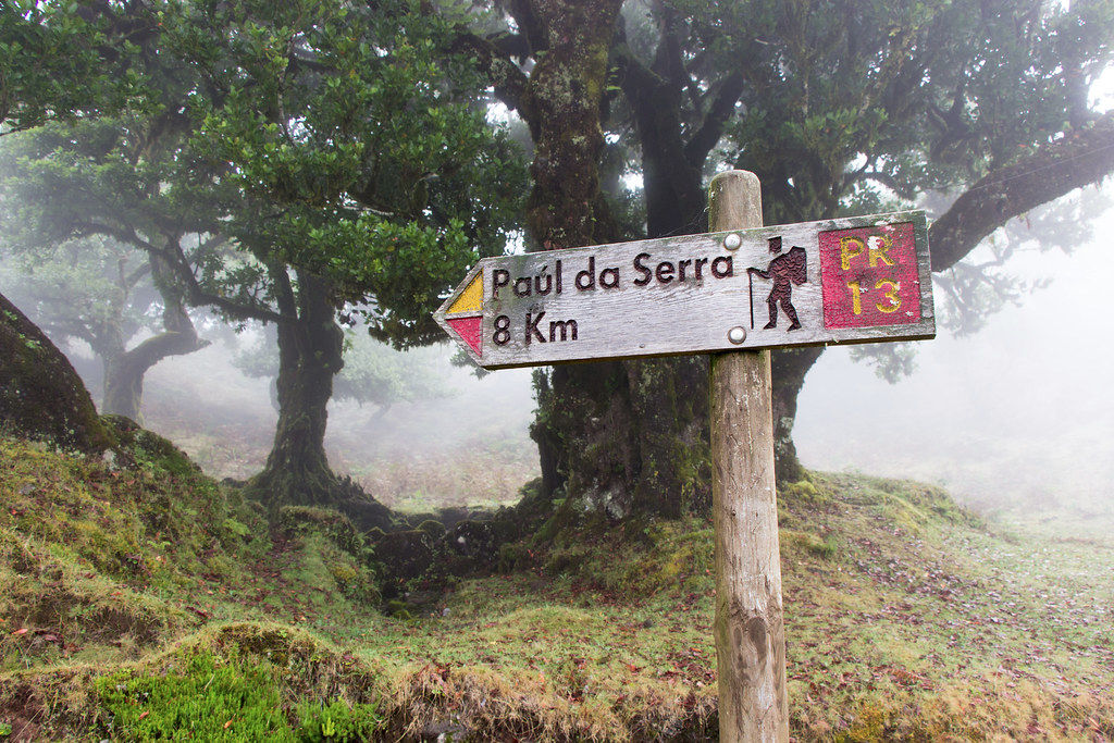
Km 1.9 : You cross the Levada do Seixal, before switching to the left side of the ridge to discover the magnificent views of the Ribeira da Janela valley.
At km 4.4, after passing the Pico Queimado, you can leave the path about 100 metres to admire the view of the valley once again.
At km 5.5, after passing the Chão do Cavaco: you can leave the path again, still with magnificent views, and you can even make a small diversions and go to the source of the levada da rocha vermelha.
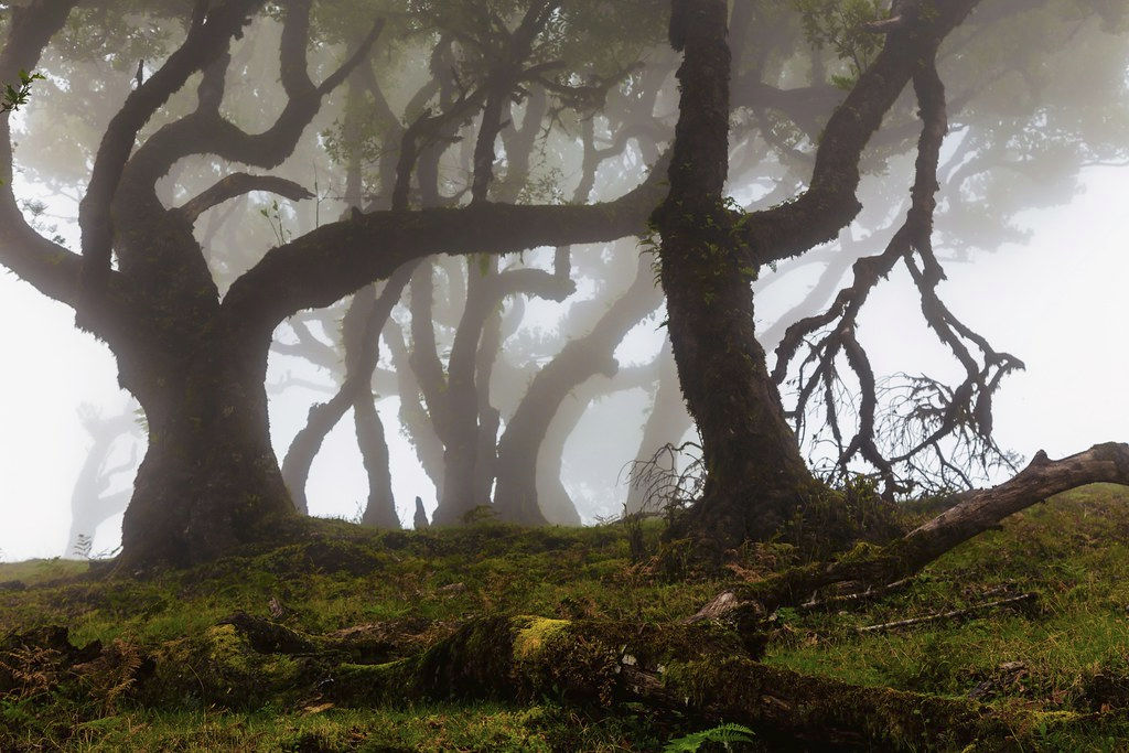
Km 6.4 : After a very slight climb, cross the ER209 to find a viewpoint over Agua do Vento.
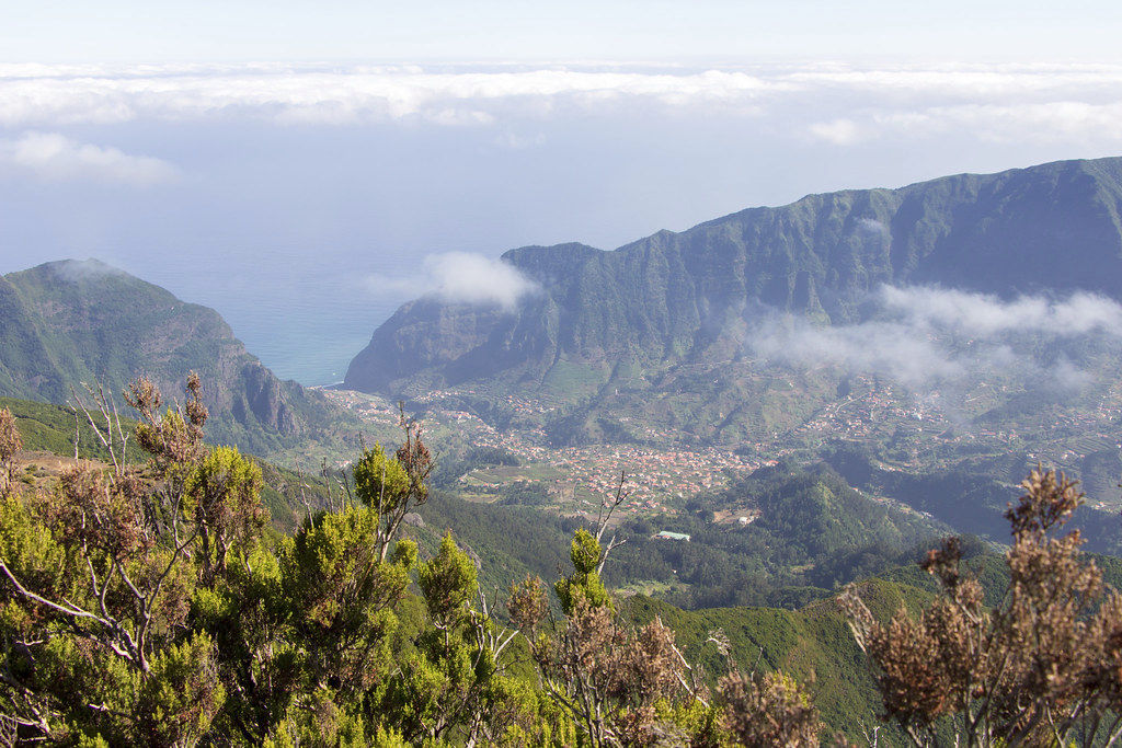
At km 8.8, you will leave the path one last time to enjoy the view over the Chão da Ribeira valley and Seixal. Not to be missed.
Km 10.4 : We finally arrive at the Fanal forest shelter, ideal for a picnic, take some pictures of the cows, the small lake of Fanal, and the wood before setting off again.
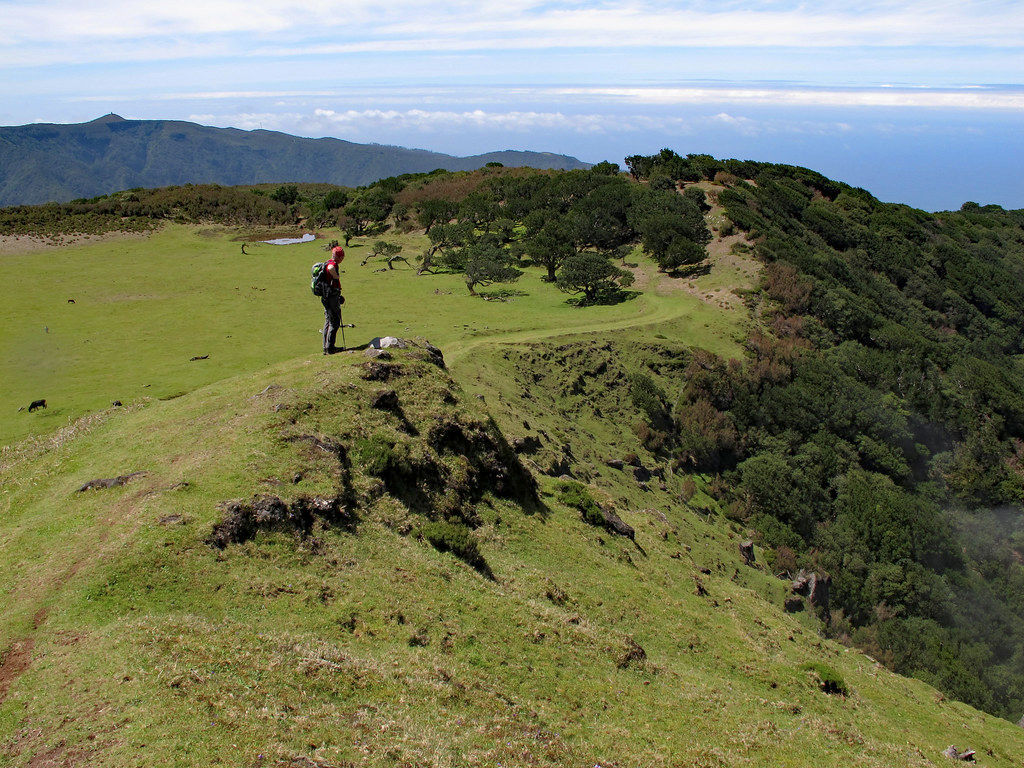
Ideal for photography lovers
Get your camera ready: whether in the middle of the fog (which is quite frequent), or in full sun, the laurel forest is beautiful and enchanting! The landscapes are really varied: you can find yourself in the heart of the luxuriant forest, and then find yourself in flat landscapes, with trees that are a bit lonely.
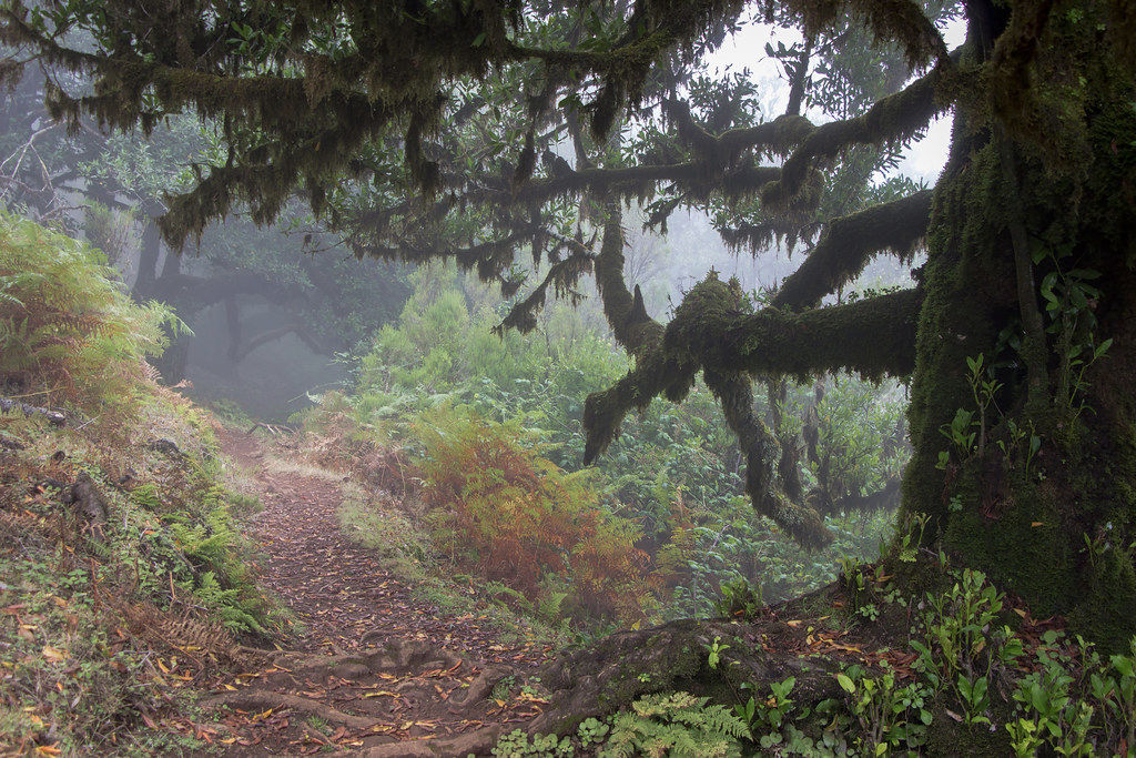
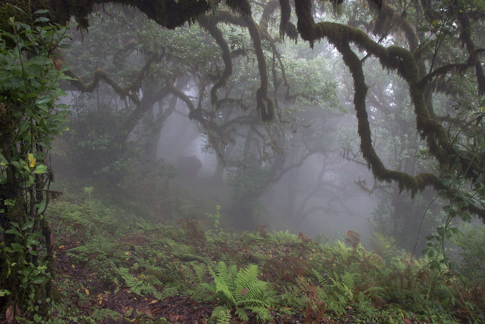
For the logistical :
We'll be careful to prepare ourselves properly: the weather changes quickly and the cold can quickly set in at 1400 m altitude! Most of the PR trails in Madeira are well marked. We'll need a way back (taxi?) to get back to the car park near Paul da Serra.
Hiking information
PR13 Vereda do Fanal
Balisage : PR
Type de parcours : itinérant
Altitude Max : 1000 m
Difficulty : normale
10.26 km
3h
+400 m
The GPX course is provided for information only and without guarantee.

 Point de départ
  Point d'arrivée de la randonnée.
 Montagne
 Randonnées
 Levada
 Point de Vue
 Cascades
 Plage
Plage Forêt primaire
 Bars
Bars Tunnel
 Point non identifié