Levadas are irrigation canals that were built to carry water to agricultural crops around the villages. There is a whole network on Madeira Island (see list of levadas) most of which are used by hikers to access the many springs and waterfalls on the island, but also to access the great landscapes. Here, the Levada do Caldeirão Verde is undoubtedly the most immersive of all Madeira Island: it is part of the official list of Madeira's 21 hiking routes. It is possible to combine this hike with the Levada Caldeirão do Inferno, which is however less safe.
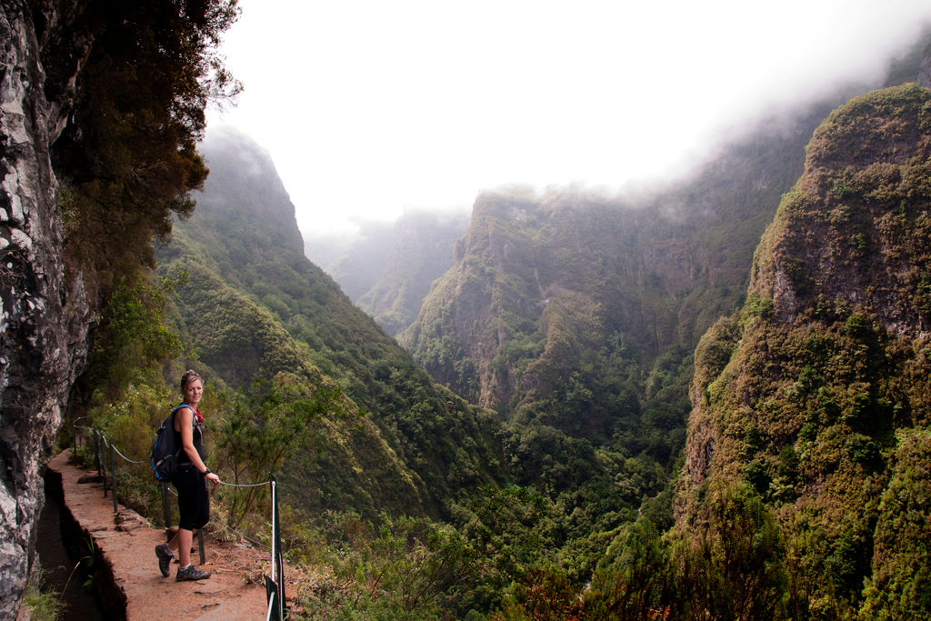
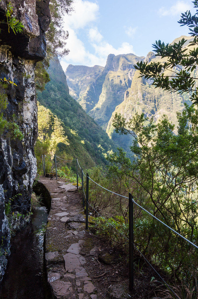
Starting from Queimadas Forest Park, accessible from the small town of Santana, the Caldeirão Verde Levada takes you through the heart of the laurel forest to discover the island's magnificent landscapes: the lush vegetation, the flowers at the beginning of the route, the São Jorge valley, the Caldeirão Verde cirque, with many bridge and tunnel crossings, until the Caldeirão Verde waterfall and its small lagoon with turquoise waters. This hike is about 7 km long and is a round trip to the forest park, a total of 14 km.
How to get to the Green Cauldron Levada?
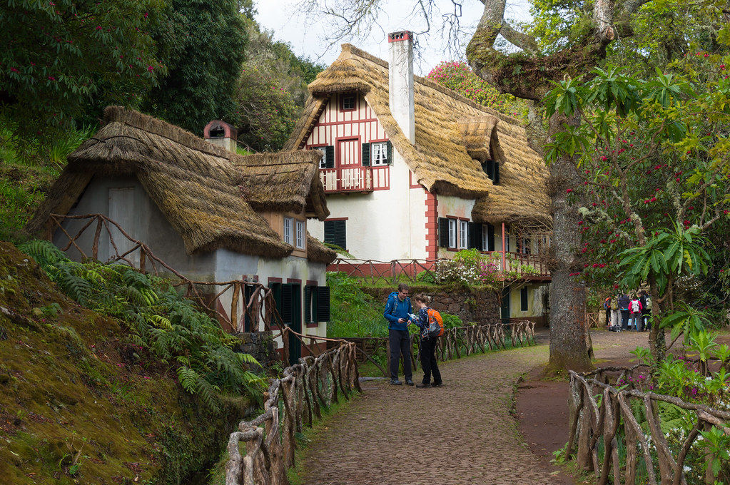
The Queimadas Forest Park is accessed from the village of Santana, located on the North East coast of Madeira. The small road Caminho das Queimadas climbs up to the car park of the forest park. Please note that the parking is paid for if you use your own vehicle, less than 3 €, so you don't have to park your car on the roadside. Once parked, you arrive at the entrance of the park with a typical Madeira house, as seen in Santana.
You can get to the forest park in 3 ways:
with your rental car
by taxi
by bus with line 138.
Santana is about 50 minutes from Funchal by car (2 hours by bus). It then takes only a few minutes to reach the site via the narrow road which climbs from 500 to 880m.
The road
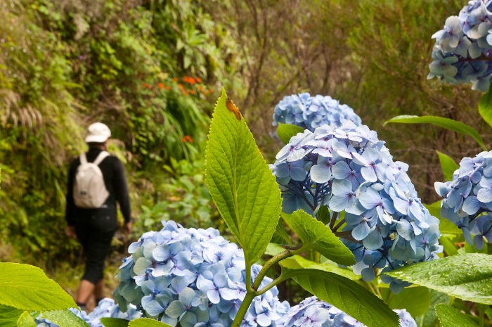
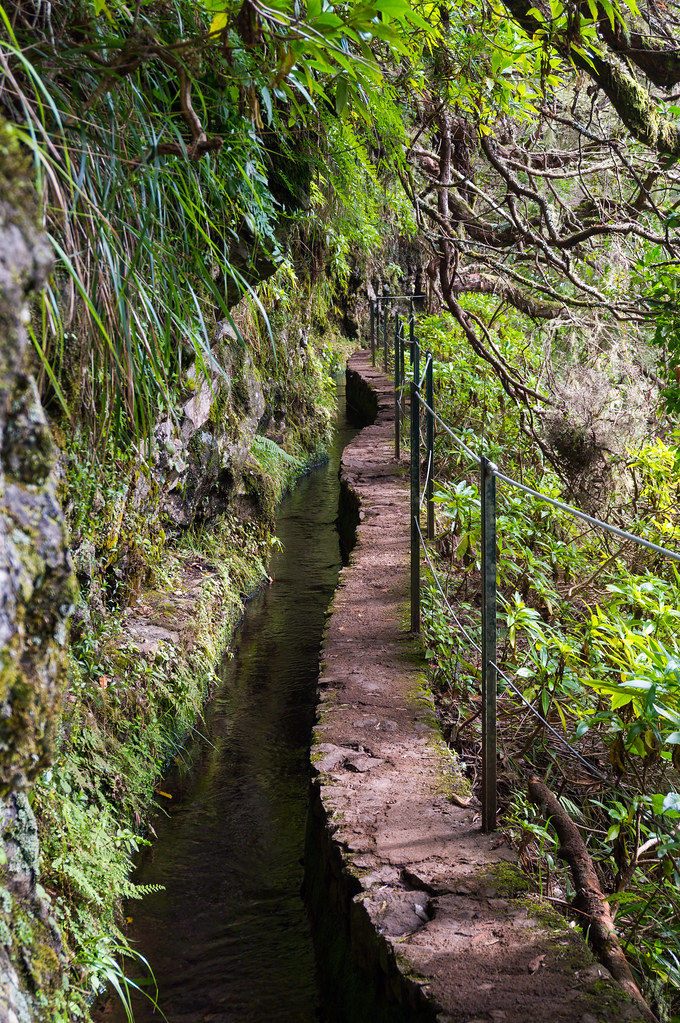
At the start of the hike, you will walk along the magnificent hydrangeas that border the levada. You gradually enter the forest of cedars, beeches and laurels that make up Madeira's laurissilva forest. The green flora leads the way and you gradually sink into Madeira's nature, which could almost be described as a jungle. Moreover, the trees offer a natural barrier to the void, even if some passages can still make you dizzy.
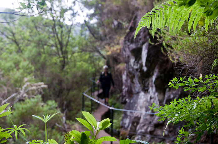
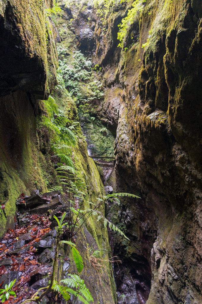
It is only after going through 4 tunnels that you reach the famous green cauldron, with a panoramic view of the city of São Jorge and the surrounding picos. Some of the passages in the tunnels are particularly narrow and you must be careful not to hurt your head. Remember also to bring a torch, which is almost compulsory to cross and to get enough light.
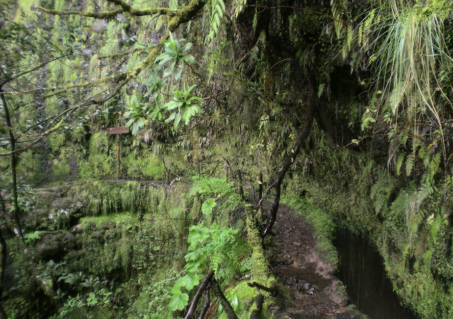
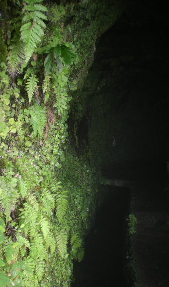
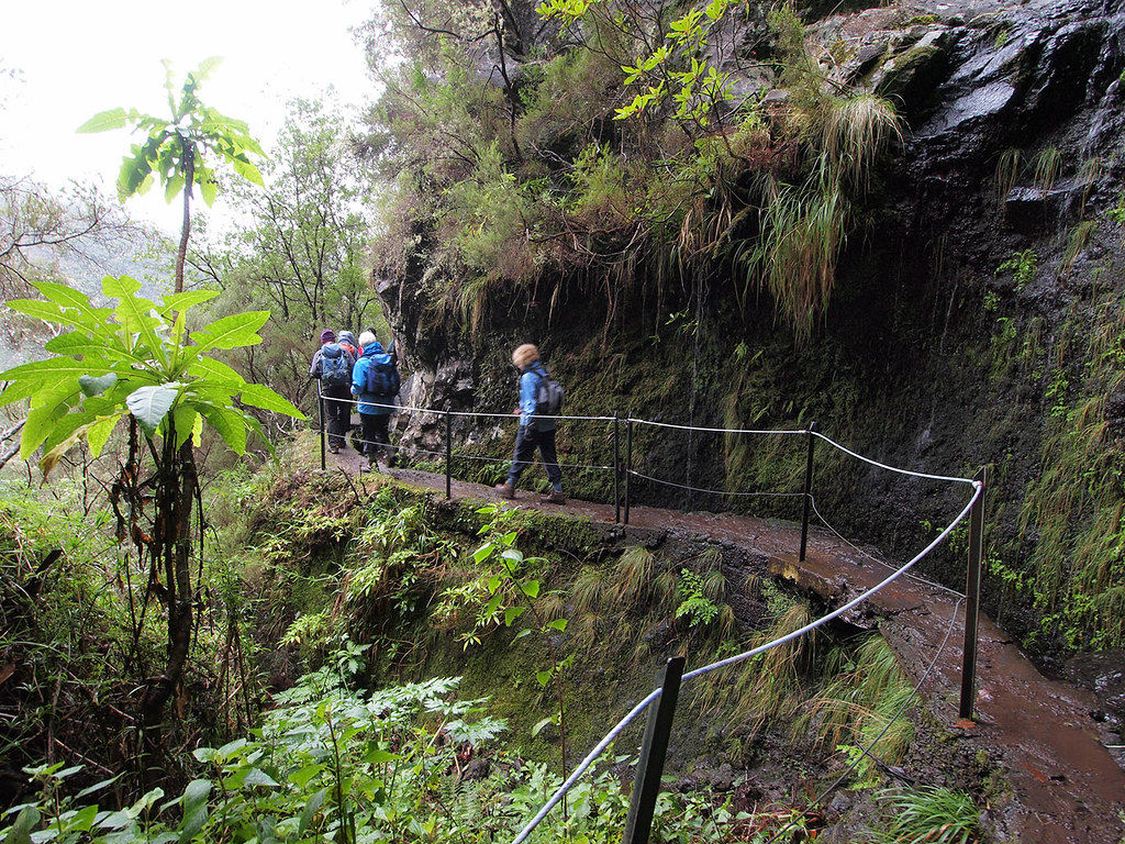
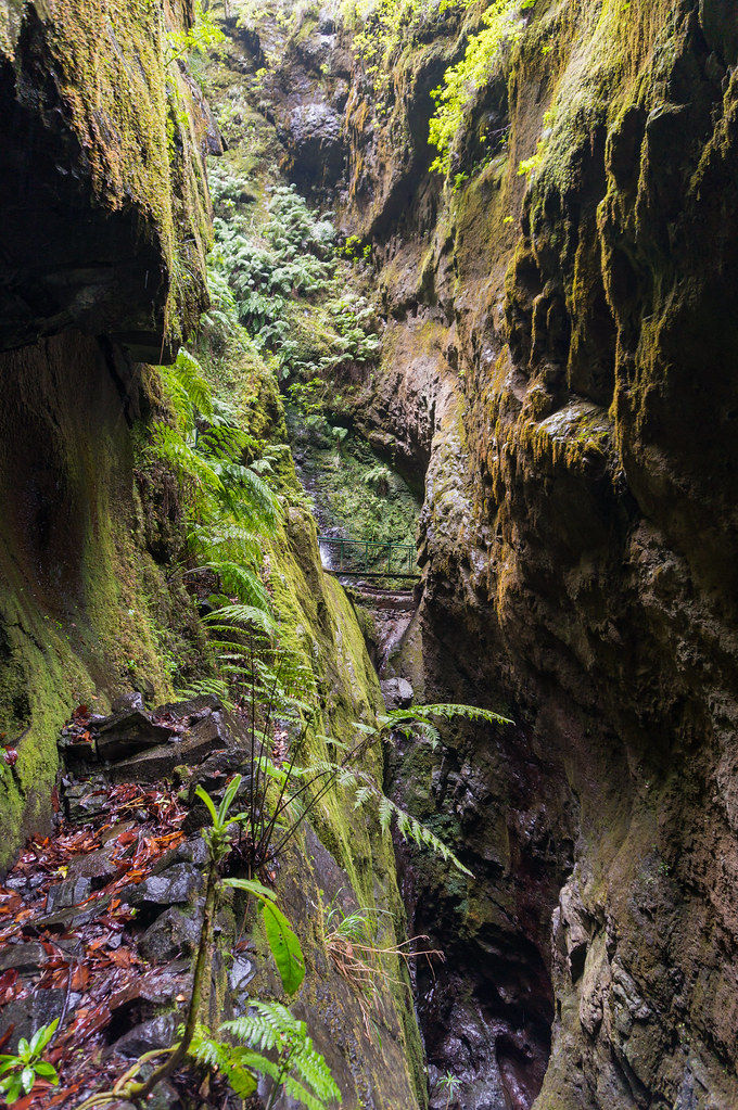
The trickling water accompanies us throughout the hike: the ground is particularly wet, which is also why the forest is particularly green. The water flows along the walls and feeds the levada: to put it simply, without proper hiking shoes you will have wet feet! A few waterfalls along the way end up falling in the middle of the path: you have been warned!
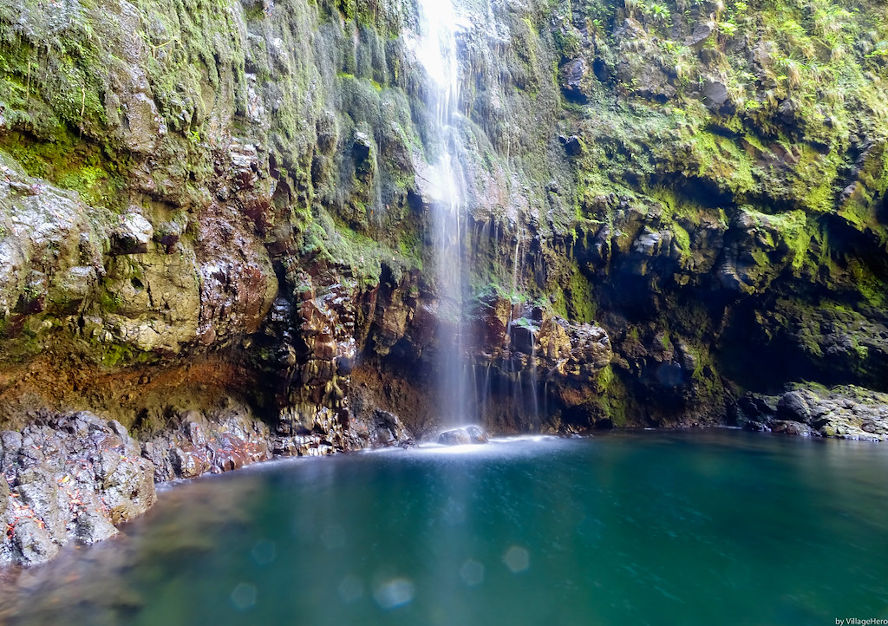
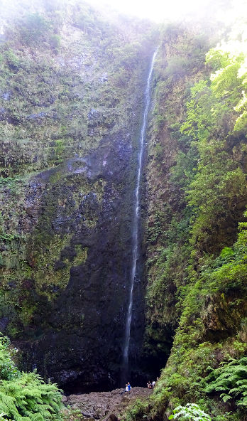
The waterfall of Caldeirao Verde is the arrival of our journey, at the green cauldron. The height of the waterfall, nearly 100 m, is impressive. It fills a small lagoon which is now forbidden to access for safety reasons. Indeed, several rock falls have occurred in recent years, and even injured hikers a few years ago.
Hiking information
Levada caldeirao Verde
Altitude Max : 1300 m
7.23 km
+488 m
The GPX course is provided for information only and without guarantee.
Variant: the levada do caldeirão do Inferno
Many guidebooks and blogs mention the short extra hike to do: the caldeirão do Inferno. However, it is only for experienced hikers: the route is less secure and the passages are steeper. Many hikers turn back at this point. If you are adventurous at heart, do Inferno will take you to the Ribeira Grande river waterfall and then to the do Inferno cauldron. You will also pass the Levada do Risco tunnel, the longest on the island. The distance covered by adding this levada is not huge: 2.4 km round trip, but once again, be careful with safety.
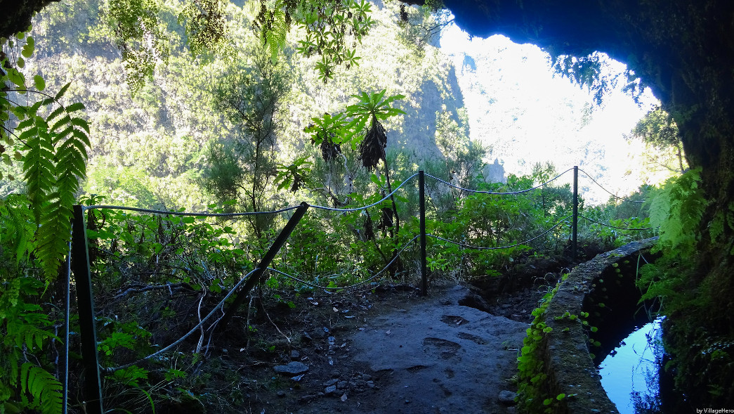
There is also another path to return: Ilha são jorge, which goes down to the small village Ilha. The problem is to return to the original car park, so take a taxi. The path is also less practicable and reserved for the more adventurous among you, in any case it can avoid making the round trip, knowing that some passages along the wall are quite narrow, and that it can be tricky to pass hikers who are in the opposite direction.
Other advice
Frequentation
Like most of the island's most beautiful hikes, the site is rather busy. It is therefore advisable to leave early in the morning to be able to enjoy the day. This will avoid difficulties to cross each other in the narrow passages, and especially to enjoy the nature without queuing.
Equipment
If the path is safe and well marked, it is advisable not to put yourself in danger by simply playing the tourist. Hiking gear (sports clothes, hiking boots etc.) and good preparation are necessary. The ground can be slippery and the weather can change. Don't forget your headlamp when going through the tunnels. See advice: How to hike in Madeira for more information.
Should you do this walk?
Yes, yes and yes again! The Levada do Caldeirão Verde is an incredible immersion in Madeira's primary forest. It will allow you to discover the beautiful nature that Madeira offers us, with all the possible elements of a levada: waterfalls, tunnels, some panoramic mountain views, all the while being on one of the routes recommended (PR9) and secured by Madeira. In my opinion this is one of the best walks to do in Madeira.

 Point de départ
  Point d'arrivée de la randonnée.
 Montagne
 Ville
Ville Musées et visites
 Levada
 Eglises et Chapelles
 Point de Vue
 Cascades
 Forêt primaire
 Tunnel
 Maisons de Santana
 Point non identifié
Hello Pour ceux qui téléchargent le GPX, ne vous inquiétez pas du dénivelé indiqué (900m), ce n'est pas la réalité, c'est que comme on suit des précipices régulièrement, l'altitude varie de façon incorrecte. En réalité, c'est de la pente douce tout du long (à part un escalier).
Merci pour votre site, c'est super (et la trace GPX nous a bien aidé danse le brouillard de Fanal!)